Jul 2026 – Sep 2026
Mapmory
A photo journal where the map only fills in once you have been there. Every photo unlocks the place it was taken.
- My role
- Developer on a two-person team
- Stack
- SwiftUI, SwiftData, Supabase
The idea
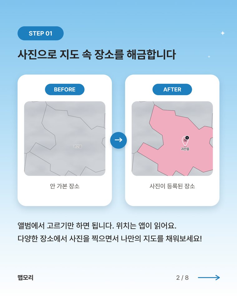
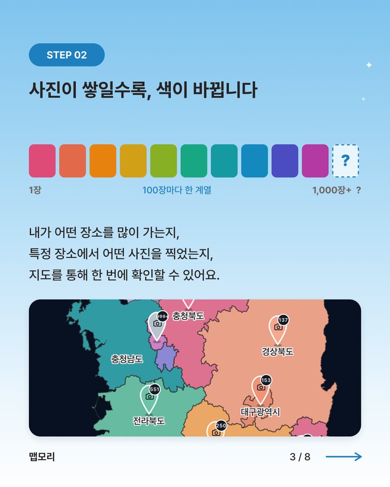
Mapmory has one rule: a photo is the unlock. Import a photo and its location opens on the map. One photo is enough, and there is no way to fill the map without one. The more photos a place has, the more its color changes, so the map slowly becomes a record of where you have been.
What it does
- Custom vector map: administrative boundaries drawn directly with SwiftUI Canvas, from province down to neighborhood level.
- Day bundles: photos from the same day are grouped, and the title and diary belong to the bundle.
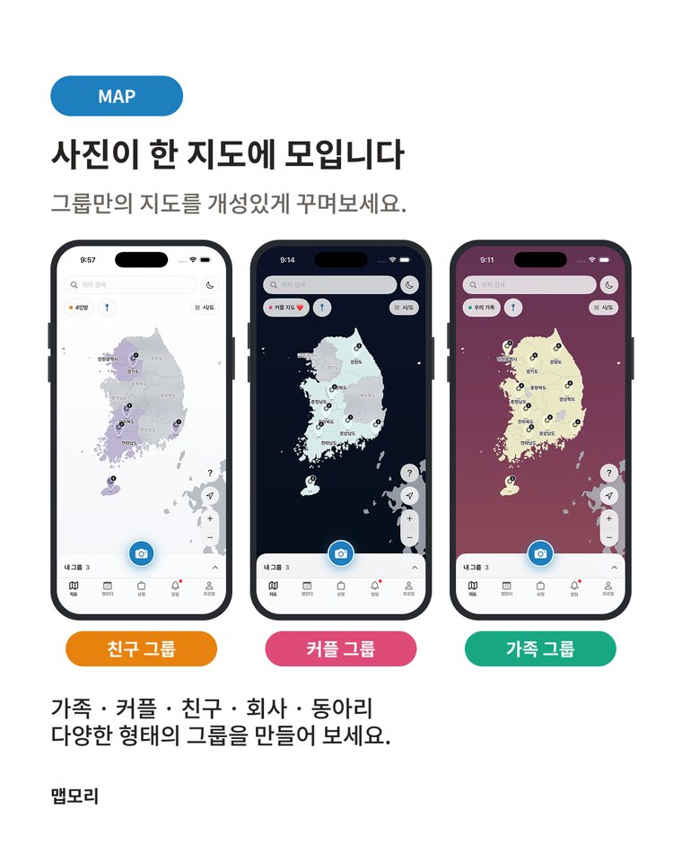
- Groups: create a group, invite up to eight members, share photos on one map, and react with likes and comments.
- Calendar and personal map: see each day by group color, or keep a private map of your own.



How it is built
The app is written in SwiftUI with SwiftData for local storage. Original photos stay in the Photos library and are referenced rather than copied. Group features run on Supabase, with Google sign-in, and shared photos are uploaded in compressed form.
Status
Built by a two-person team between July and September 2026: 335 commits and about 35,000 lines of Swift. Development is finished, but the app has not been released on the App Store and the project is currently paused.